Built Specifically For As-Built Documentation
Capture GPS Points
Compare Elevations
Generate Fieldbooks
Export Reports
Everything You Need for As-Built Documentation
Powerful tools designed specifically for construction and utility contractors
GPS Point Capture
Accurately record location data in the field with precise GPS coordinates. Track every shot with elevation and description.
Elevation Comparison
Compare design elevations vs actual field measurements. Visualize cut/fill calculations with interactive charts.
Digital Fieldbooks
Generate organized fieldbook documentation automatically. No more manual paperwork or spreadsheets.
Professional Reports
Export polished PDF reports with maps, tables, and charts. Ready to submit to clients and agencies.
Team Collaboration
Assign field crews to projects. Office staff can view real-time updates from the field instantly.
Save Time & Money
Reduce documentation time by 80%. Eliminate errors from manual data entry and double-checking.
How As-Built Dash Works
From Field Shot To Final As-Built In 4 Steps

Create Project
Set up job and pipe runs in seconds.

Assign Field Crew
Give field crews instant access.

Capture Field Data
Shots, elevations, GPS & QC checks auto-recorded.

Generate Reports
Export ready-to-submit as-built packages.
Reduce As-Built Closeout Time By Up To 70%
Contractors using As-Built Dash eliminate manual fieldbooks and office redraw delays.
Built For Field-Driven Contractors

Utility Contractors

Survey Teams
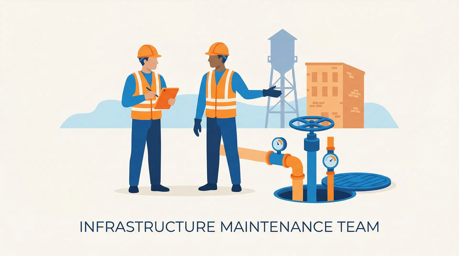
Water & Sewer Crews